 By Tag Clar Editorial
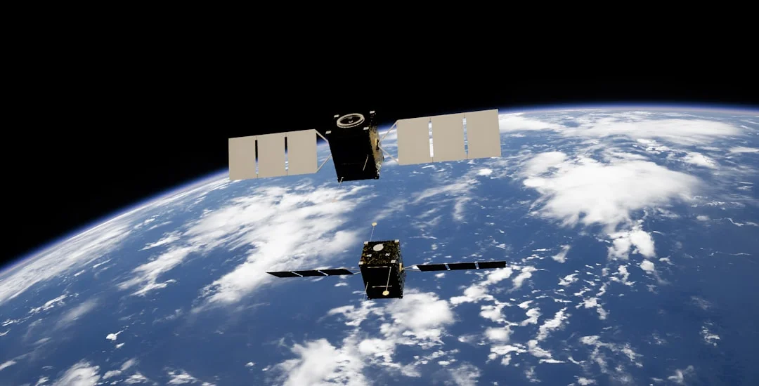
In a historic launch, nine small satellites were sent into space from the city of Würzburg, Germany, to monitor the status of forests and predict natural disasters. These satellites will particularly aid in the early detection of forest damage in the state of Bavaria and improve crisis management during flooding events.
Advancements in Space Technology
These satellites, named "CuBy," send information and images of the status of Bavaria every three days, which can assist in key decision-making in agriculture and forestry. Additionally, five satellites from this collection are equipped with multispectral cameras capable of identifying damage caused by drought.
In this project, three other satellites are known as "TOM" and are tasked with producing three-dimensional images to assist in crisis management during emergencies. These international collaborations have been established across five continents to enable rapid data transfer.
The ninth satellite is designed as a precursor for future missions in climate predictions. These satellites, the size of a shoebox, are significantly cheaper than larger models, and for the first time in history, this number of satellites built in Europe is being launched into space simultaneously.
Klaus Schilling, one of the pioneers of satellite research in Würzburg, is recognized as a key figure in this project. As a member of the University of Würzburg team in 2005, he designed the first German small satellite named "Uwe-1," aimed at providing internet from space. Since then, numerous small satellites have been launched from Würzburg, and this trend continues.
The infrastructure for this project is supported by funding from the European Union, the European Space Agency, and the German Aerospace Center, reflecting significant advancements in space science and technology in Germany.